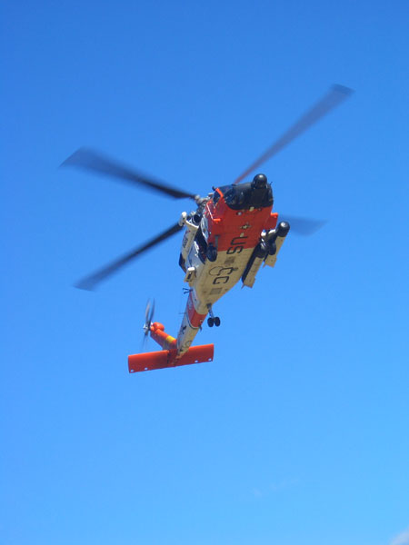
Here's a great view of the Coast Guard's JayHawk helicopter as it approaches the training site.

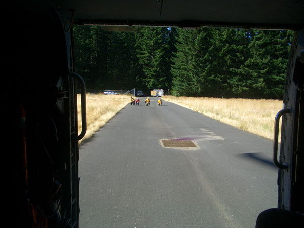
Here's a different view.
Uh oh.

Now we're talking!!
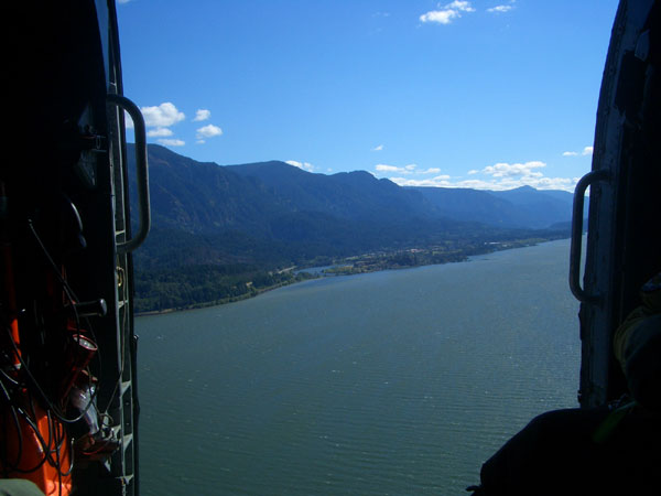
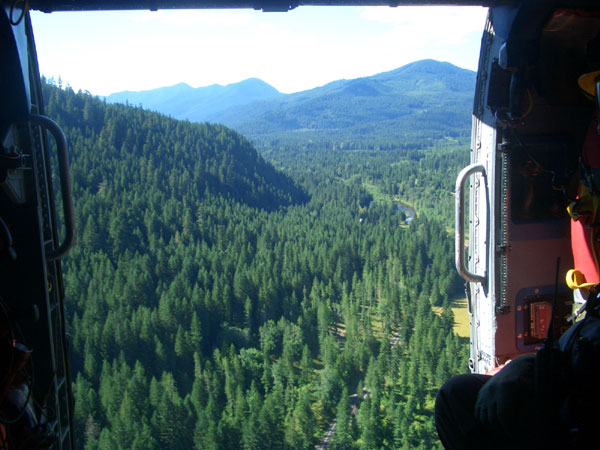
This is a great view of the Columbia River Gorge.
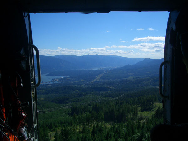
That is the Columbia River and Oregons northern border.
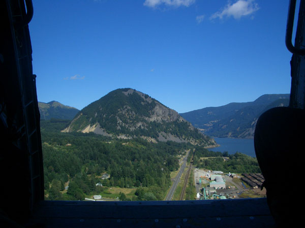
This is Wind Mountain, which I mentioned in an earlier post.
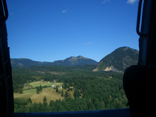
That is Dog Mountain in the background. I will, undoubtedly, mention that one again in the future.
Left turn.
Right turn. Whoa!
Still turning right. That is the same piece of land below us -- by this, you can tell how sharp this turn was!
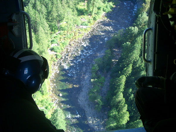
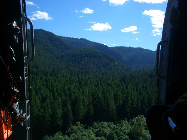
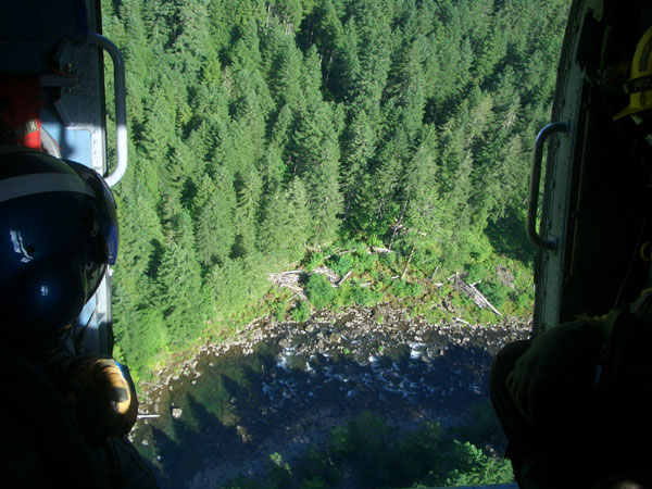
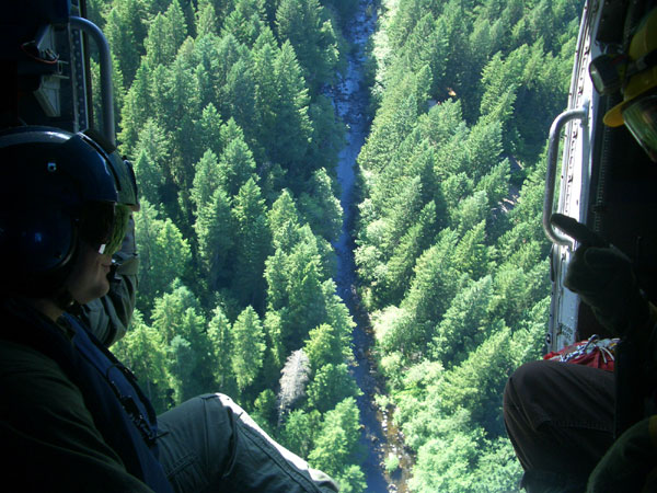
This is our stomping grounds. The Gifford-Pinchot National Forest. Eat your heart out!
Here's River 8 taunting the crew member in the back during an already sharp right turn. If I read his hand signals correctly, he was trying to dare the pilot into doing a barrel roll!
All told, I believe that this trip was just short of 15 minutes. Sweeeet!